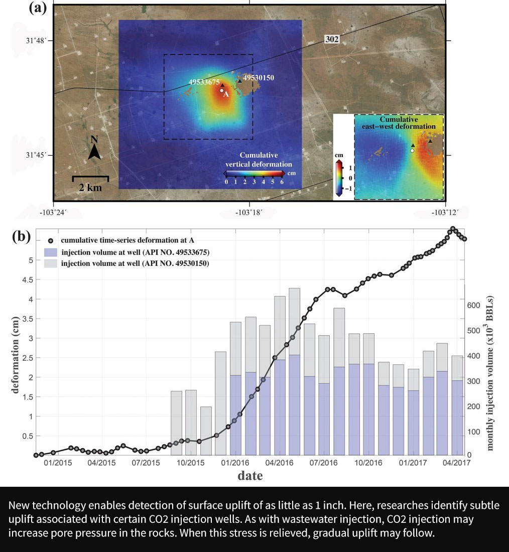
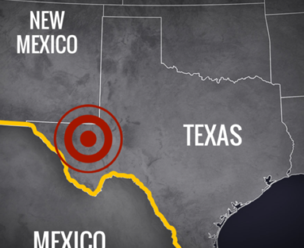
According to research at Southern Methodist University (SMU) in Dallas, decades of anthropogenic activities (mining, groundwater extraction, hydrocarbon production), together with naturally occurring settlement due to sediment loading and glacial isostatic adjustments, have destabilized a 4,000-square mile swath of West Texas—leading to an increased rate of sinkhole formation and expansion.
Whereas the naturally occurring subsidence on the coast displays characteristics of a continuous, slow progression (millimeters per year) and a large spatial extent (~100 km wide) the human-induced geohazards are faster growing (up to tens of cm/yr) but encompass a varying but generally small area (up to a couple of km wide).
The biggest difference between the two, however, is the correlation to surface instability, although the vastness of West Texas challenges our ability to identify and locate the relatively small spatial scale of the deformation corresponding to human activities, particularly for fluctuations over the course of a month or a year.
Using satellite radar interferometry from newly launched radar satellites, researchers can now literally measure these very subtle and slow moving deformations and begin to probe the causal mechanisms.
This is important work shedding further insights into ground impacts in West Texas, and using early findings to inform long term risk management plans. EnergyMakers AG showcases recent findings by leading researchers, together with our own disposal well injection analysis, in our Underground Injection Industry Risk Report, for informed risk mitigation.
